drone survey and mapping
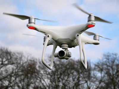
Drone Surveying in Boulder
If you're looking for the next generation in surveying, we can fly our survey drone and provide you with real time mapping and 3D mapping.
Mine and Quarry Drone Surveying
Looking for a more cost effective route for tracking your mine or quarry output? We can fly our drone to provide you with weekly, monthly, quarterly, bi-annual, or annual reports. Let our drone survey take your business date to new heights at a fraction of the cost.
Drone Reporting for Construction Sites
With our drone service, contractors on big jobs can use our real time data for their productivity reports in the field.
Real Estate Media
Need some cool footage to close those big real estate deals? We can fly our drone around and get those awesome shots no man can! Call us today for Drone Photography in Boulder and surrounding areas.
Developers
Need a birds eye view for a new site? Call us today, and we'll put our bird in the air and get you all the data and shots you need to get the ball rolling.